
The National Weather Service (NWS) has issued urgent warnings about dangerous weather conditions affecting several parts of the United States. From flash floods in the Mississippi, Tennessee, and Ohio valleys to mudslides in California, and winter storms in the Upper Midwest and Northeast, the country is facing a series of severe weather events. Here’s a simple breakdown of what’s happening and what to expect.
Flash Flooding Threatens Mississippi, Tennessee, and Ohio Valleys
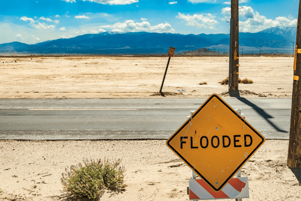
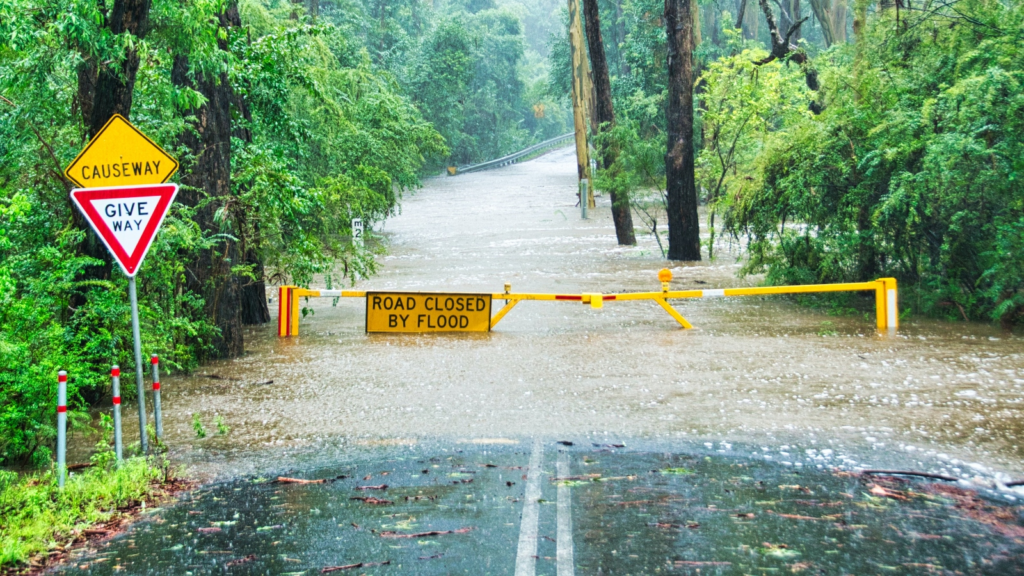
The NWS has warned of life-threatening flash flooding in parts of Mississippi, Tennessee, Kentucky, and Ohio. Heavy rainfall, with rates of 1-2 inches per hour, is expected to cause significant flooding. Some areas could see total rainfall between 3-6 inches, with isolated spots receiving up to 8 inches. Northwestern Tennessee and western Kentucky are at the highest risk, with the NWS issuing a High Risk (level 4/4) of Excessive Rainfall for these areas.
The repeated storms will not only bring heavy rain but also severe thunderstorms, especially in the Deep South. These storms could lead to damaging winds and even strong tornadoes. The Storm Prediction Center has issued an Enhanced Risk (level 3/5) for severe weather, meaning people in these regions should stay alert and prepared.
The flooding risk extends eastward into the Appalachian region, where moderate to slight risks of excessive rainfall have been reported. Residents in these areas are advised to avoid traveling through flooded roads and to stay updated on weather alerts.
Mudslides Hit California After Heavy Rains
Meanwhile, California is dealing with a different kind of weather crisis. Recent heavy rains have triggered mudslides in the Pacific Palisades burn zone, near Los Angeles. Workers have been busy clearing debris from roads, including the Pacific Coast Highway, to restore access and ensure safety.
Mudslides occur when heavy rainfall saturates the ground, especially in areas recently affected by wildfires. The lack of vegetation in burn zones makes the soil unstable, leading to dangerous slides of mud and debris. Residents in these areas are urged to stay cautious and follow local authorities’ instructions.
Winter Storm Brings Snow to the Upper Midwest and Northeast
In the northern parts of the country, a winter storm is expected to bring moderate to heavy snowfall. The upper Midwest, Great Lakes, and northern New England will be the most affected. The NWS has issued Winter Weather Advisories, predicting snow accumulations of 3-6 inches in many areas. Upstate New York and northern New England could see even heavier snow as the storm strengthens.
Strong winds accompanying the snow may lead to blowing snow and hazardous travel conditions. Higher elevations in the Appalachians are also expected to receive moderate snowfall. By Monday, the storm is likely to move east of New England, but lake-effect snow will continue downwind of the Great Lakes due to cold northwesterly winds.
Arctic Air Brings Bitter Cold to the Plains
A surge of arctic air from Canada is set to bring frigid temperatures to the northern and central Plains this weekend and into early next week. High temperatures will drop into the single digits and teens, with some areas near the Canadian border experiencing lows as cold as -30 degrees Fahrenheit. Strong winds will make it feel even colder, with wind chills well below zero.
This arctic blast will also extend into the Mississippi Valley and southern Plains, where highs will only reach the 30s and 40s. Residents in these regions should prepare for extremely cold conditions and take precautions to stay warm and safe.
Heavy Rain and Snow in the Pacific Northwest
The Pacific Northwest is also bracing for a new round of precipitation. A Pacific storm system is expected to bring heavy rain to coastal areas and a mix of rain and snow to interior valleys. Higher elevations, particularly in the Cascades and northern Rockies, will see moderate to heavy snowfall.
By Sunday night, this system will interact with an arctic front, spreading snowfall across the northern Rockies and into the northern Plains. Travelers in these areas should be prepared for slippery roads and reduced visibility.
Staying Safe During Severe Weather
With so many severe weather events happening across the country, it’s important to stay informed and take necessary precautions. Here are some tips to stay safe:
- Flash Floods: Avoid walking or driving through floodwaters. Just six inches of moving water can knock you off your feet, and one foot of water can sweep away a car.
- Mudslides: If you live in an area prone to mudslides, listen to local authorities and evacuate if advised. Stay away from steep slopes and areas with loose soil.
- Winter Storms: Stock up on essentials like food, water, and blankets. Avoid unnecessary travel and dress in layers to stay warm.
- Extreme Cold: Limit time outdoors, cover exposed skin, and check on vulnerable neighbors or family members.
The NWS and local authorities are working hard to keep everyone informed and safe. Make sure to follow weather updates and heed any warnings or advisories in your area. Stay prepared, stay safe, and take care of yourself and your loved ones during these challenging weather conditions.
